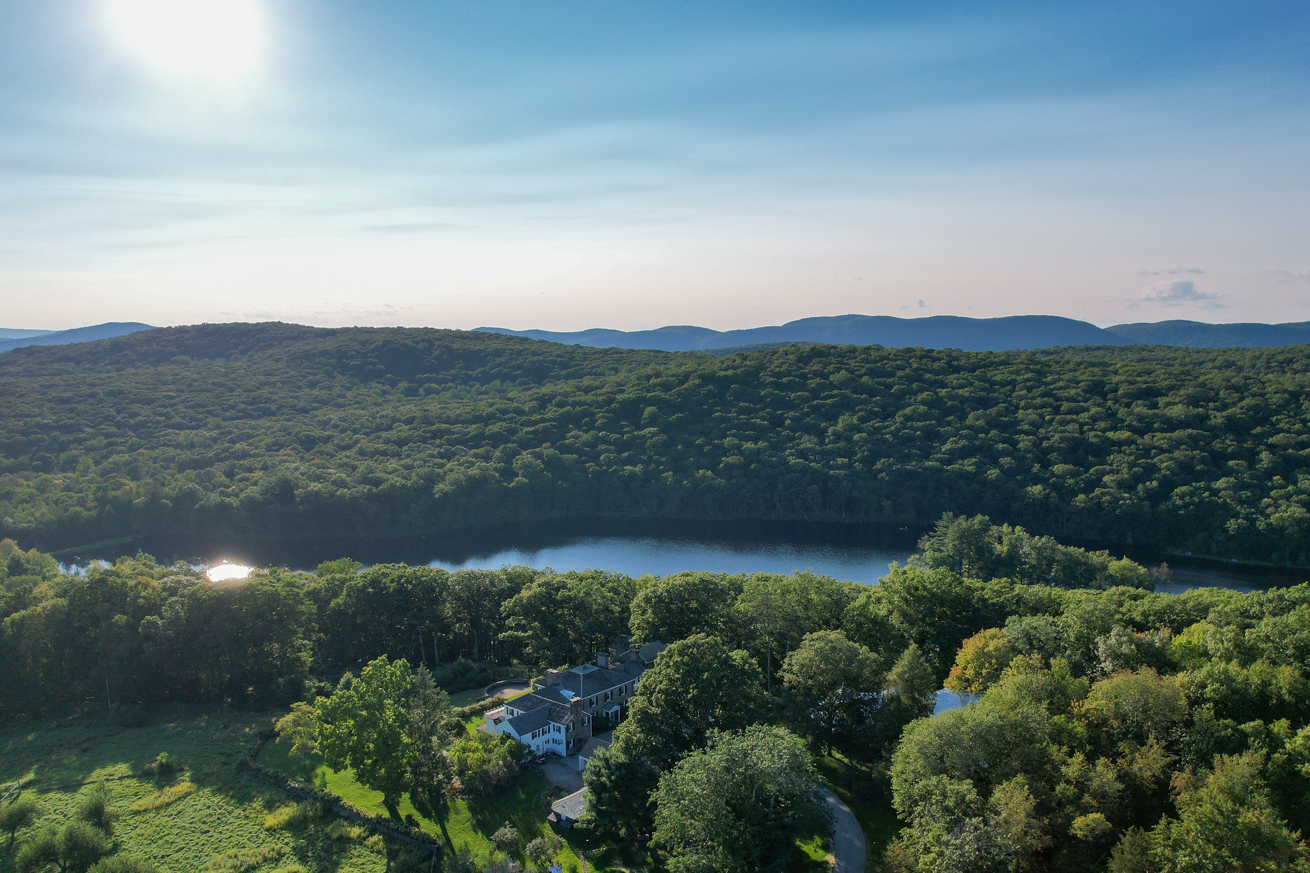
Located within the Hudson-Wappinger watershed, Glynwood is water-rich. The farm benefits from a long-term average of 45 to 50 inches of rain per year compared to the national average of 38 inches per year. In addition to immediate rainfall and snowmelt, Glynwood’s water resources are drawn from two irrigation reservoirs—a 105-foot-deep agricultural well (that generally provides about 75 to 100 gallons per minute), and the 10.25 million gallon Jordan Pond reservoir (a shallow impounded pond filled by intermittent streams and surface runoff). The redundancy of water sources is more than we need at most times of the growing season, but during dry spells and drought periods, we often need to draw from multiple water sources to adequately water all of our vegetables and supply enough drinking water to the livestock across the farm’s pastures. Because of increasingly unpredictable weather patterns and extreme weather events, we cannot rely on natural watering alone for all of our agriculture needs and irrigation infrastructure plays an important role.
As farmers and land managers at Glynwood, our goal is to spread water and lengthen its residence time on the land. We make use of artificial irrigation by carrying water from our irrigation reservoirs through an extensive network of pipes to reach our vegetables and livestock throughout the farm landscape. Slope and gravity are to our advantage and disadvantage, and because our two irrigation reservoirs sit below most points we wish to transport water, electric pumps convey water over fairly long distances through irrigation lines. Contrariwise, our elevation gradients across the farm allow us to think creatively about how we may capture rainfall at the high points, temporarily store water, slow surface movement, and strategically encourage infiltration into the soil.
Last year we made significant improvements to how we transport water to various parts of the farm via irrigation pipes (both above and below ground) with increased pressure and reach. Integral to this ongoing process is critical observation and thought about how to best manage water that cycles through our landscape. The water cycle is a simple model of how we can begin to understand the complex dynamics of how water continuously cycles through Earth and its atmosphere via evaporation, condensation, precipitation, infiltration, percolation and transpiration. As part of farm-wide water management we also consider how best to capture rainfall, to direct and slow surface flow and to encourage soaking infiltration into the soil. If you recall the blog series about the Middle Field restoration from last summer (July, August, and September), I tell the story of the process to improve one of our pastures. When I plowed, disk harrowed, and planted that field throughout last spring, summer and fall, I did so on topographic contour as a measure to slow the surface flow of water. In the summer and fall we planted annual cover crop seed mixes that included deep rooted tillage radish and turnip to improve water infiltration. We will further employ “capture, direct and soak” practices, such as a series of berms and swales before our perennial pasture seeding in the fall and will eventually follow with adjusted keylining or master lining plow techniques.
Irrigation infrastructure will likely always play a primary role in food production at Glynwood, and by furthering the intentional management of captured rainfall we can be more resilient and insulated against the effects of rapid climate change. There is great potential to better harness rainfall across the Glynwood landscape, and Middle Field will hopefully prove to be our practice field for honing methods for an eventual comprehensive landscape-wide water management plan. Beyond continuing to improve our irrigation infrastructure systems this season, we will also give increasing thought and care to how we capture, direct and soak water across the variable topography at Glynwood. Three major permaculture practices we are considering for the future are: earthworks (berm, swale, and pond creation); perennial planting (centering and incorporating trees in our annual crop and livestock production); and adjusted keylining or master lining (identifying contours and designing the landscape for water storage, movement and infiltration), to help us resiliently manage our water-richness.
References:
Shepard, Mark. (2020). Water for Any Farm. Greeley, CO: Acres U.S.A.
National Agricultural Literacy Curriculum Matrix (2013) CC BY-NC-SA 4.0.
http://cdn.agclassroom.org/media/uploads/lp225/watercycleinacup.png

